3D models of the Netherlands
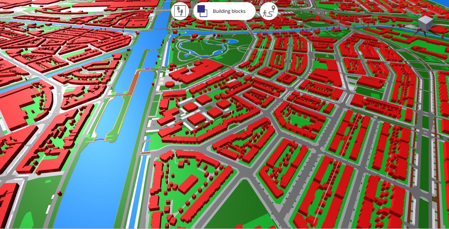
We celebrate at our uCrowds that we have added the functionality to create a simple 3D model of an arbitrary area in the Netherlands in our interactive, real-time pedestrian simulator. Based on open, large-scale topography data, the user can select what surface types are walkable. For example, within 30 seconds, both a visual 3D model as well as a navigation mesh for simulation purposes are constructed for a 0.5x0.5 km area.
As you may notice in the picture below, which shows a part of Gemeente Utrecht, there are no pedestrians on the streets. They are sitting inside ;-). Hopefully, the virus will be conquered soon so that they can visit events again. We are currently using this technology to make simulations for the preparations of the Vuelta (with Movares).
This functionality was created by one of our students from Utrecht University studying the Computer Science master Game and Media Technology.
Let’s stay positive and keep on celebrating the good things!
Read, like and share this post on our LinkedIn!