Advancing Geo-Specific Applications with a Digital Twin Maturity Model
Digital twins have emerged as powerful tools in various industries, enabling organizations to create virtual replicas of physical assets and environments. In the realm of geo-specific applications, the digital twin maturity model provides a roadmap for organizations to assess their current state, identify areas for improvement, and enhance their digital twin capabilities. By leveraging layered development, establishing key performance indicators (KPIs), and incorporating real-time interaction, simulations, and adjustments, organizations can fully unlock the potential of digital twins in GIS environments, buildings, and human crowd simulations.
Layers of a Digital Twin Maturity Model: Laying the Foundation The digital twin maturity model is structured across several layers, representing the evolution from low to high maturity. Starting with basic data layers, organizations progress through visual representation, simulation, real-time interaction, twin adjustment by real-world changes, and finally, adjustments in the real world. Each layer introduces new functionalities and capabilities, providing a comprehensive framework to measure progress and identify areas for growth.
Key Performance Indicators (KPIs): Measuring Digital Twin Maturity To evaluate the maturity of a digital twin, specific KPIs are established at each layer. At Level 1, KPIs focus on the correctness and completeness of data layers, including data quality, missing data, compatibility, and update frequency. Non-technical KPIs such as accessibility and cost considerations are also vital factors in assessing a digital twin’s effectiveness.
Digital Twins in GIS Environments: Enhancing Geospatial Insights In GIS environments, digital twins leverage common GIS layers such as OpenStreetMap (OSM), Dutch Cadastre (BGT), and 3D BAG. The visual representation ranges from 2D to realistic 3D models, while simulation preparations involve extracting walkable areas, creating navigation data structures, and modeling behaviors and patterns of life. Integrating sensor data allows real-time adjustments, empowering organizations to gain deeper geospatial insights and optimize decision-making processes.

Digital Twins in Buildings: Optimizing Operational Efficiency Digital twins find significant applications in the building industry, utilizing Building Information Modeling (BIM)/Industry Foundation Classes (IFC) and FBX data formats. Setting up basis simulations with validated data ensures accurate results. The digital twin maturity model emphasizes the responsibility that accompanies higher maturity levels, including validation processes for collision avoidance, motion capture, and compliance with international standards.
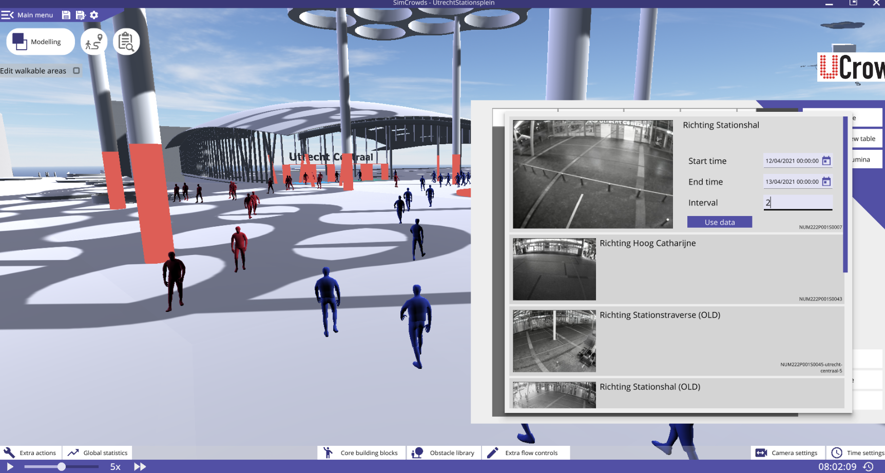
Simulating Human Crowds: From Animal Models to Human Behavior The journey of crowd simulation began with models designed for animals. Reynold’s model, a widely adopted approach, focuses on center navigation, collision avoidance, and local speed and direction blending.
Representing the walkable environment through parallel computation of a navigation mesh is essential for scaling up crowd simulations. Additional data sources, such as the Dutch Cadastre, enrich the navigation mesh, enabling more accurate and realistic simulations.
- Performance Considerations: Enabling Efficient Digital Twins Integrating various components of a digital twin while maintaining optimal performance poses significant technological challenges. Leveraging game engines as core components, such as Amazon Web Services (AWS) SimSpace Weaver, ensures efficient and performant digital twin operations.
However, web-based challenges and limitations persist, requiring a focus on high-performance computing and sustainable solutions to meet the growing demands of digital twin applications.
Unleashing the Potential of Digital Twins
The digital twin maturity model is a vital tool for organizations aiming to advance their digital twin capabilities. By incorporating the model’s layers and establishing relevant KPIs, organizations can create digital twins that optimize decision-making, improve operational efficiency, and enhance geospatial insights. Embracing high-performance computing and sustainable practices further strengthens the potential of digital twins as transformative tools across industries. As organizations continue to evolve their digital twin capabilities, a world of possibilities awaits in the realm of geo-specific applications.
Read, like and share this post on our LinkedIn!